Guam's Villages

There are 19 beautiful Districts, or "Villages", in Guam. Each Village has its wonderful, unique attributes.

Take the time to enjoy each Village...and feel free stop by each Mayor's Office to say "Hafa Adai!".  


AGANA HEIGHTS

Tutuhan
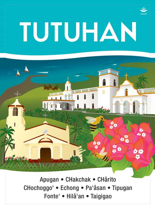
Village Image
Mayors Council of Guam Village Flag
Mayors Council of Guam Village Flower
Mayors Council of Guam Village Sign
Village signage artwork by artist, Maria Cristobal Calori.

AGANA HEIGHTS

Tutuhan
Agaña Heights is located in the central part of the island. It is part of the Kattan (Eastern) District. The village derives its name from two words “Tutuhon luhan”. “Tutuhon lujan” means someone who becomes scared because of impending doom or is terrified about something. Agaña Heights was a ranchland long ago and those who ranched in this area were villagers from Hagåtña. It was said that there were no trails on Agaña Heights and the only access was for ranchers to climb the steep cliffs along the perimeter of the village. The only way to get to and from Agaña Heights was through the steep cliffs and often ranchers stood at the top of the cliff and surveyed the long climb down and as they did, they would experience a feeling of fear as they contemplated the precariousness of the situation.

Street Address:
184 Chalan Macajna
 

HÅGAT

Village Image
Village Flag
Mayors Council of Guam Village Flower
Mayors Council of Guam Village Sign
Village signage artwork by artist, Maria Cristobal Calori.

HÅGAT

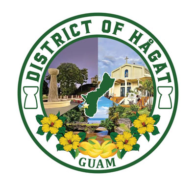
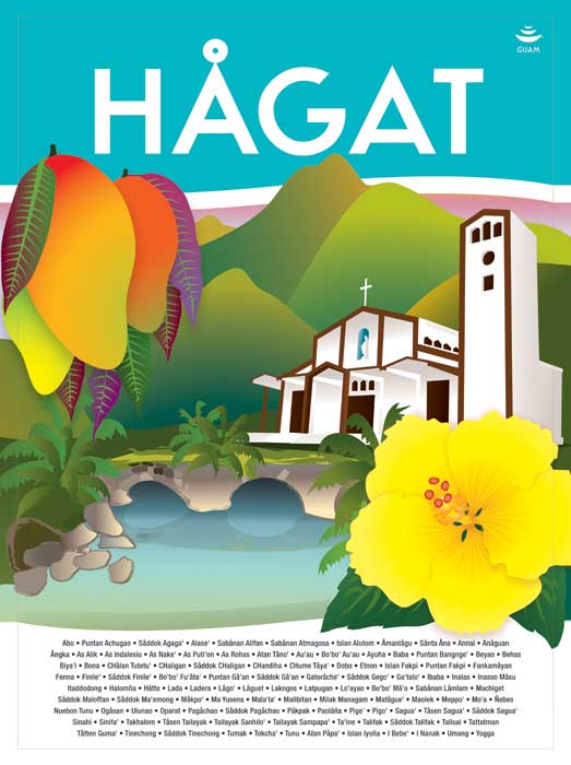
Hågat village is located on the southwestern side of the island. This area is part of the Haya (Southern) District. Old Hågat was built between 1680 and 1684 and was designed by the ruthless Spanish Governor Don Jose Quiroga as a settlement for rebellious islanders whose homes had been destroyed. Many of its first citizens were brought from the interior village of Fena, which had also been wiped out. In July of 1944, the village of Old Hågat was totally destroyed by the American invasion. After the war, new Hågat sprang up in a location further south and is one of the villages in the south that is now experiencing development and commerce.

Street Address:
393 Route 2

HAGÅTÑA

Mayors Council of Guam Village Image
Mayors Council of Guam Village Flag
Mayors Council of Guam Village Flower
Mayors Council of Guam Village Sign
Village signage artwork by artist, Maria Cristobal Calori.

HAGÅTÑA

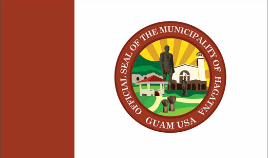
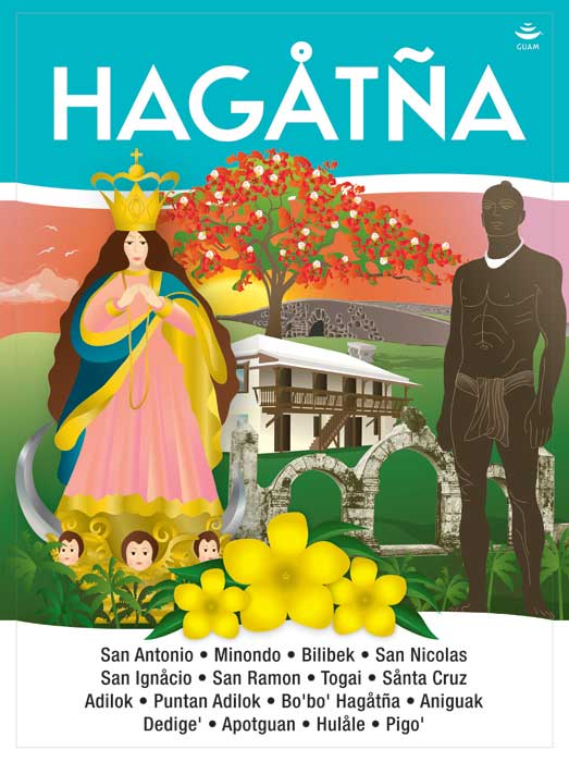
Hagåtña is the capital of Guam. It is located in the center of the island and part of the Kattan (Eastern) District. The village derives its name from the word “haga”. “Haga” means blood and that this village came about due to the bloodlines of families and relatives that helped establish this village. Hagåtña became a village when the Spaniards decided that the area be the capital of the island. Hagåtña is where you find places named after the saints, as the city is also the seat of the island’s religion – Catholicism. The three branches of government: Judicial, Legislative, and Executive are located here. Also, it is the center of all commercial activities with legal offices, banks, department/variety stores, insurance, technical and professional services and recreation facilities.

Street Address:
236 East O’Brien Drive
 

SINAJANA

Sinahånña
Mayors Council of Guam Village Image
Mayors Council of Guam Village Flag
Mayors Council of Guam Village Flower
Mayors Council of Guam Village Sign
Village signage artwork by artist, Maria Cristobal Calori.

SINAJANA

Sinahånña
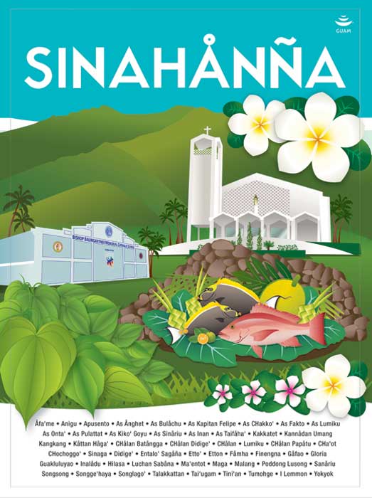
The village of Sinajaña is located in the central part of the island and is part of the Kattan (Eastern) District. Sinajaña overlooks the central parks of Guam and sits atop of Hagåtña. The village derives its name from the word “chinahan”. “Chinahan” means the method of baking wild yams in the dirt. The “ña” at the end of the village name “Sinajaña” refers to the people who helped in the baking process.

Street Address:
117A Chalan Guma Yu’os

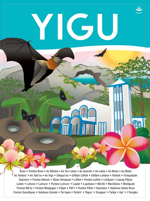
YIGO

Yigu
Mayors Council of Guam Village Image
Mayors Council of Guam Village Flag
Mayors Council of Guam Village Flower
Mayors Council of Guam Village Sign
Village signage artwork by artist, Maria Cristobal Calori.

YIGO

Yigu
This village derives its name from the word "yugu". "Yugu" means the frame placed over the neck of a carabao and harnessed to a cart. Yigo is the island's northernmost village. The soil is rich for coffee, cocoa, pineapples, oranges and tangerines, which grew in abundance before the war. This village also produced chocolates, which were then transported to Hagåtña where they were served to visitors in the Chocolate House of the Governor's palace. Yigo also has many Ifil wood trees, the hard wood used to make the yoke of the carabao and oftentimes the construction of the carabao cart.

Street Address:
Bldg. 274 Gayinero Drive