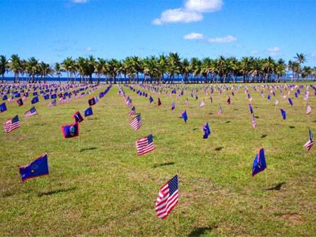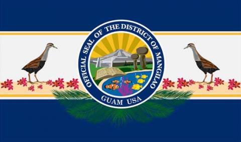
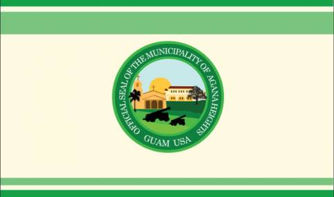
AGANA HEIGHTS
Tutuhan

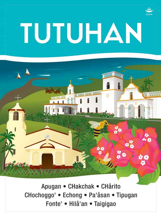 Village Sign
Village signage artwork by artist, Maria Cristobal Calori.
AGANA HEIGHTS
Tutuhan
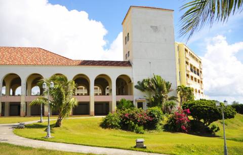
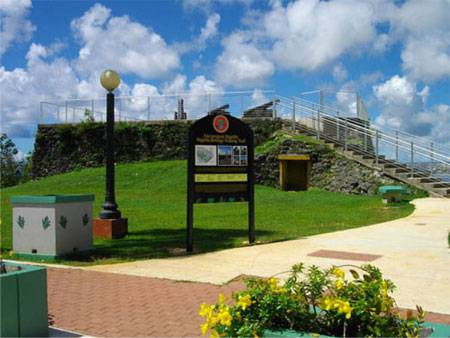
Agaña Heights is located in the central part of the island. It is part of the Kattan (Eastern) District. The village derives its name from two words “Tutuhon luhan”. “Tutuhon lujan” means someone who becomes scared because of impending doom or is terrified about something. Agaña Heights was a ranchland long ago and those who ranched in this area were villagers from Hagåtña. It was said that there were no trails on Agaña Heights and the only access was for ranchers to climb the steep cliffs along the perimeter of the village. The only way to get to and from Agaña Heights was through the steep cliffs and often ranchers stood at the top of the cliff and surveyed the long climb down and as they did, they would experience a feeling of fear as they contemplated the precariousness of the situation.
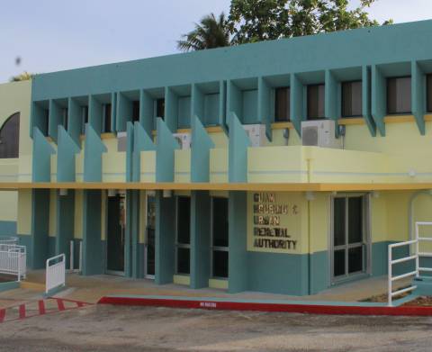
Street Address:
184 Chalan Macajna
Street Address:
184 Chalan Macajna